A satellite that could soon play a key role in combating climate change by monitoring methane emissions entered Earth’s orbit aboard a SpaceX rocket launched from the Vandenberg Space Force Base in southern California on Monday.
Three thousand miles away, Steven Wofsy, an atmospheric and environmental science professor at Harvard University, who has overseen the satellite’s development since the project’s inception in 2015, described the moment as “like looking over the edge of the cliff.”
“All this time we’ve been devoting a tremendous amount of time and energy to getting ready to do something,” Wofsy said at a launch party at Harvard, where a crowd of approximately 100 students and faculty gathered in the atrium of university’s recently completed Science and Engineering Complex in Allston on Friday. “As soon as that little guy goes into space, it’s showtime.”
We’re hiring!
Please take a look at the new openings in our newsroom.
See jobs
The ‘little guy’ he referred to is MethaneSAT, an 800-pound satellite that will monitor methane emissions from oil and gas fields worldwide and make the information publicly available in near real-time.
The $88 million project, which its developers say is the world’s most advanced methane-detecting satellite, was funded by the Environmental Defense Fund and is the first satellite owned by an environmental non-profit. The satellite will circle the earth every 95 minutes, 326 miles above the surface of the Earth. Using a high-resolution infrared sensor, it will scan an area approximately 125 miles wide to detect elevated methane concentrations and, in some cases, the volume of methane released from individual wells.
To design and build the satellite, the organization partnered with Harvard University, the British aerospace company, BAE Systems and the Harvard and Smithsonian Center for Astrophysics—a leading developer of space-based observatories—among others.

Once in orbit, the satellite’s operations will be overseen by the New Zealand Space Agency, which provided additional funding for the project. Google, another project partner, will assist in making the data publicly available.
Methane is the second leading driver of climate change after carbon dioxide and is responsible for approximately 30 percent of current warming. In the oil and gas sector, methane leaks, or in some cases, is intentionally vented, at every point in the supply chain, from wellheads to compressor stations and pipelines.
Curbing methane emissions is widely viewed as the most effective way to slow the rate of climate change in the near term due to methane’s potency as a greenhouse gas, over 80 times that of CO2, and the relatively short amount of time it remains in earth’s atmosphere.
“We can dramatically reduce the rate of increase over the next couple of decades by addressing methane and doing it aggressively,” said Steven Hamburg, chief scientist for the Environmental Defense Fund.
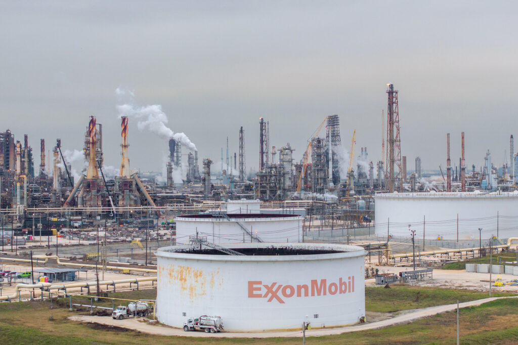
The oil and gas sector is the second leading source of methane emissions related to human activity after agriculture. EDF will focus its efforts on emissions from oil and gas as there are a relatively small number of large emitters and proven, low cost ways to reduce emissions. The primary component of natural gas, methane is also a valuable commodity; the less that leaks or is vented into the air from wells and other infrastructure, the more product remains to be sold.
The New Zealand Space Agency will use MethaneSAT for limited scans of emissions from agriculture, a sector that accounts for nearly half of all greenhouse gas emissions in the country. However, the satellite’s ability to quantify emissions from individual cattle and sheep spread out over large areas is limited, as are methods to reduce livestock’s emissions.
In the early 2010s, EDF conducted more than a dozen studies using airplane-based monitoring equipment and on-the-ground sensors to assess methane emissions across the U.S. oil and gas sector. The studies concluded that actual methane emissions were far higher than official estimates that oil and gas companies reported to the Environmental Protection Agency.
The EPA said it will release new regulations on March 8 that will require the oil and gas sector to reduce methane emissions by nearly 80 percent.


MethaneSAT will use methane sensing equipment similar to what EDF used in its previous airplane-based studies but will be able to monitor larger areas in a shorter period of time. Using the new satellite, EDF estimates it will be able to observe emissions from more than 80 percent of all oil and gas production worldwide.
The satellite’s launch comes as the European Union, the world’s largest importer of natural gas, is finalizing requirements that would place limits on methane emissions associated with oil and gas imports.
“We will be able to provide information that will allow people to start to make distinctions in terms of what is the emissions profile of different gas supplies around the world,” Mark Brownstein, EDF’s senior vice president for energy transition, said. “We think that’s going to be very useful to major consumers of gas in terms of where they choose to do their business.”
“It will give us better information about United States emissions and leakage and it will open windows to operations in countries we can’t study, like Russia,” said Rob Jackson, an earth system science professor at Stanford University, who is not affiliated with the project.
However, Jackson said he wasn’t convinced that having better information on methane emissions will result in climate pollution reductions.
“We’ve seen high emissions in oil and gas fields in the U.S. for decades now and yet the emissions continue,” he said.


The EPA hasn’t yet determined whether it will allow data collected from MethaneSAT to be used to enforce its soon-to-be released methane emission regulations.
“EDF, along with other owners of remote sensing technologies, may apply to be certified,” EPA spokeswoman Shayla Powell said of a new Methane Super Emitter Program that will be part of the new regulations.
“If the EPA evaluates MethaneSAT and decides that it fits this category of EPA approved public data, then yes, anybody would be able to use that data to initiate regulatory actions,” said Drew Shindell, an earth science professor at Duke University. “That would be unprecedented in the U.S.”
MethaneSAT will join a small but growing constellation of methane monitoring satellites and will provide new capabilities that others lack. If the satellite lives up to its potential, the device will be a capstone achievement for Wofsy, the Harvard professor and a leader in the global atmospheric research community who said he never wanted to launch a satellite.
Wofsy, 77, has led projects since the 1990s that have used remote sensing instruments on airplanes, balloons and towers to measure pollutants and other gasses as they move through the atmosphere.
“I had always promised myself never to do a satellite project,” he said at Friday’s launch party.
This story is funded by readers like you.
Our nonprofit newsroom provides award-winning climate coverage free of charge and advertising. We rely on donations from readers like you to keep going. Please donate now to support our work.
Donate Now
The years it takes to prepare a satellite for launch, the potential for something to go wrong in space, and what he described as NASA’s aversion to satellite projects that provide policy relevant information, had previously dissuaded him from such an endeavor, Wofsy said.
MethaneSAT’s focus on emissions monitoring helped change his mind.
“It was important to me, in part because it has an endpoint of actually having an impact,” Wofsy said.
“Not only through science and engineering, do we have the ability to do something, but sometimes we have the responsibility as well,” David Parkes, dean of Harvard’s School of Engineering and Applied Sciences, said as he congratulated those at the university who had worked on the project. “This is Steve Wofsy, [and] his colleagues deciding that we really have to do this, we have to find new ways to tackle the climate crisis.”


